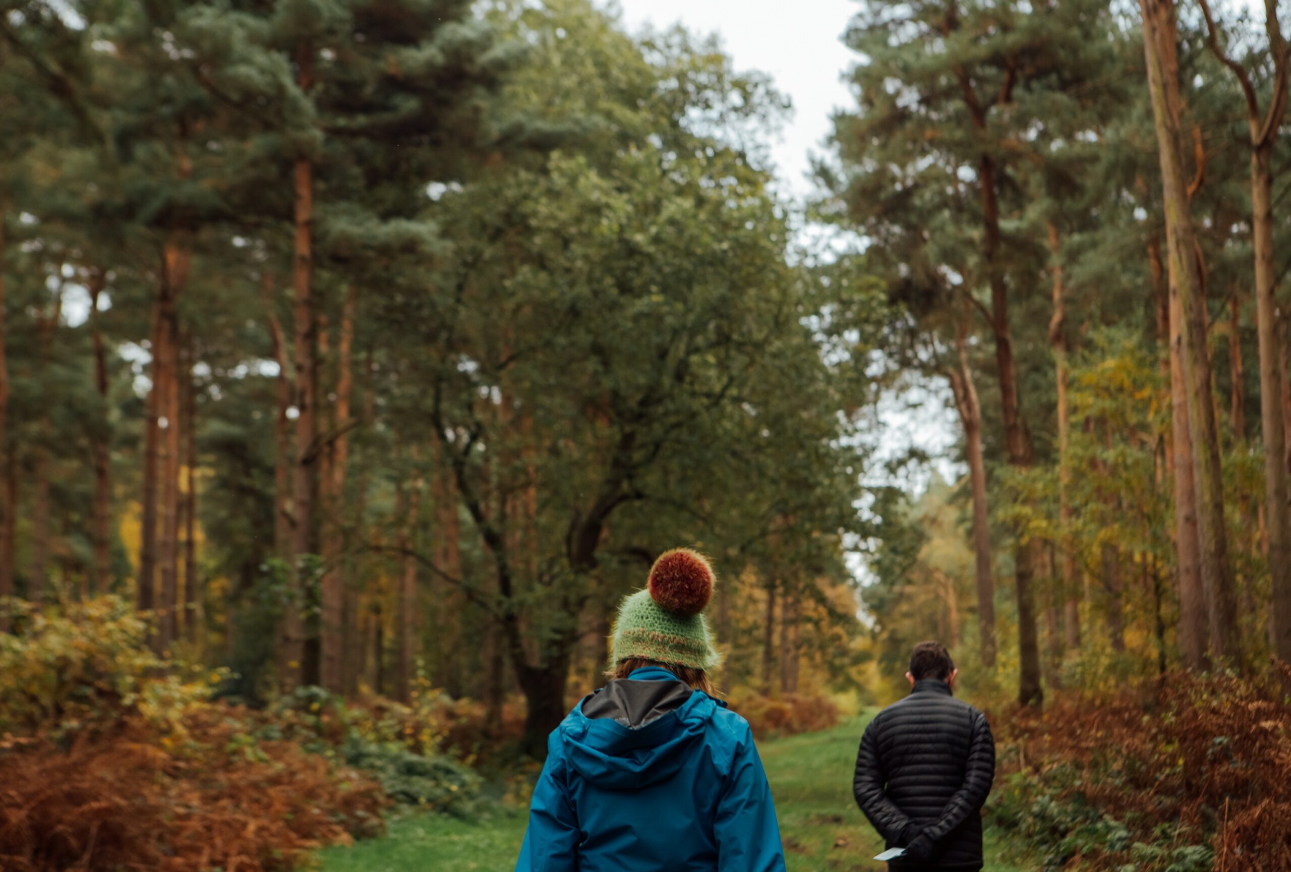
City of York Council set out to encourage residents to explore York and its surrounding areas – promoting outdoor activity, exercise, and a deeper appreciation of the district’s natural beauty. We partnered with the council to create a series of walking maps designed to inspire discovery and engagement.
While York is rich in history and landscape, many residents may not fully explore what’s on their doorstep. Traditional walking guides can feel purely functional, missing the chance to truly engage and excite users.
There was an opportunity to create something more than just maps – to turn walking into an experience. The challenge was to design guides that are accessible and practical, while also bringing the stories, character, and hidden details of York to life.
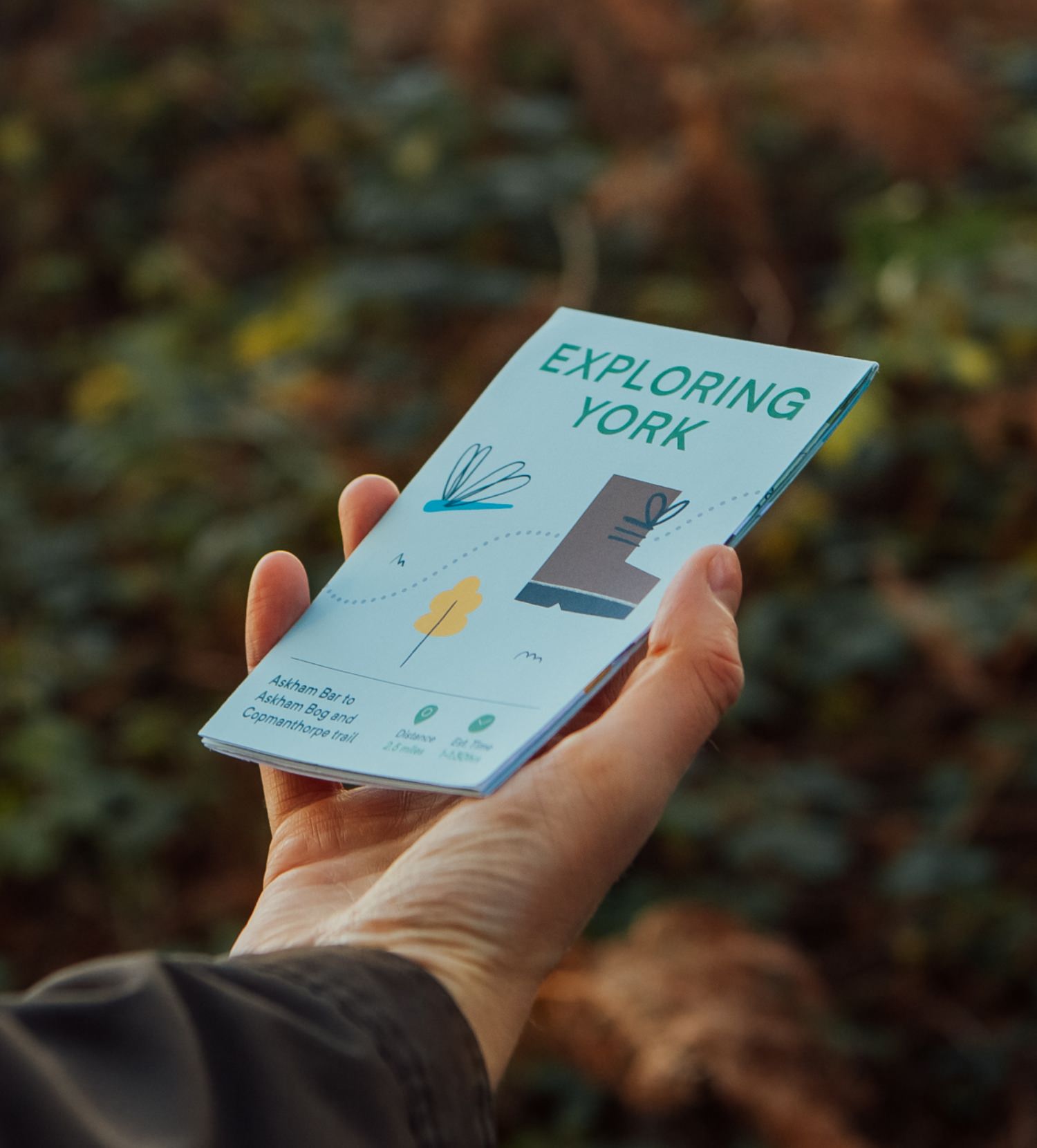
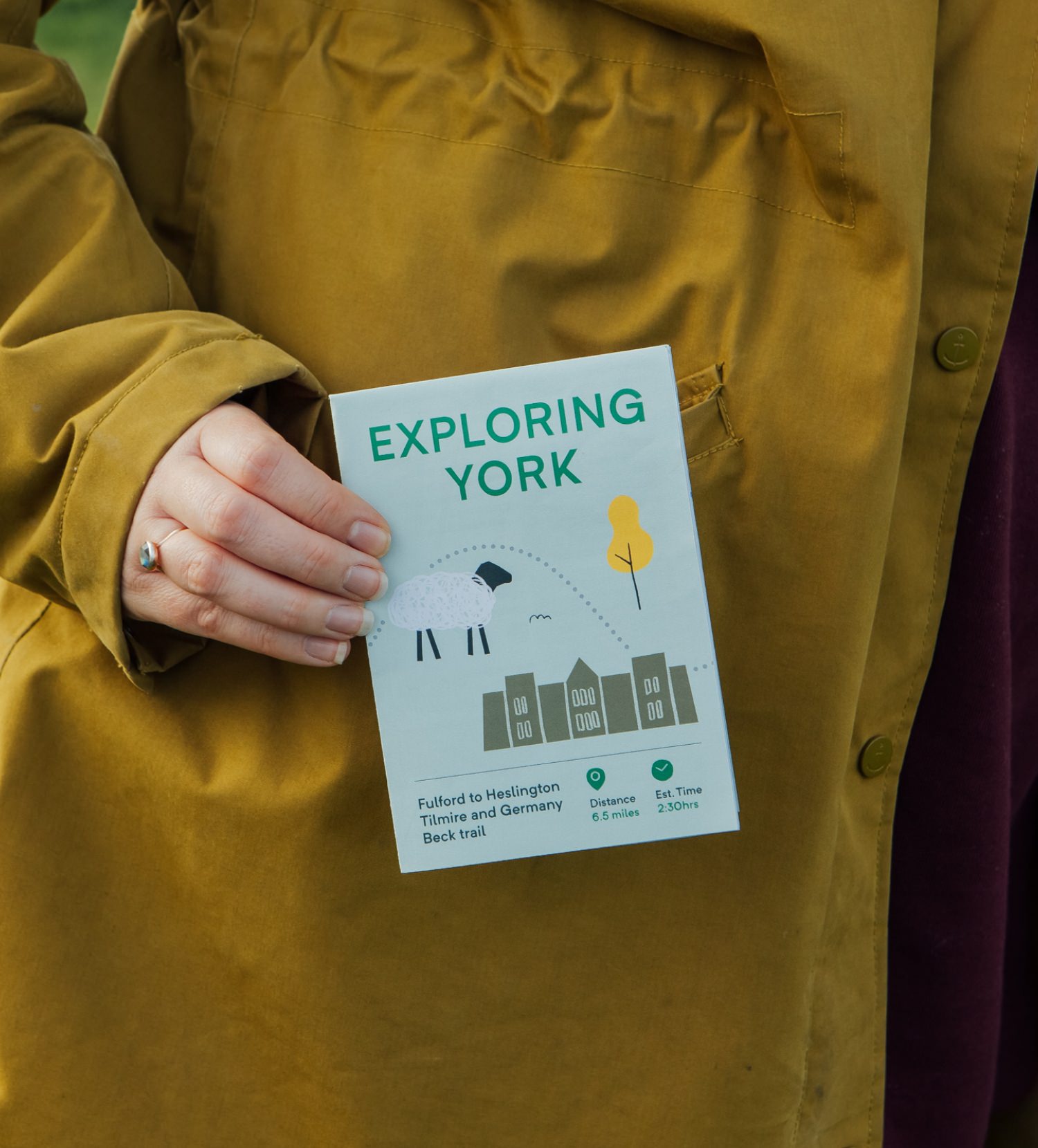
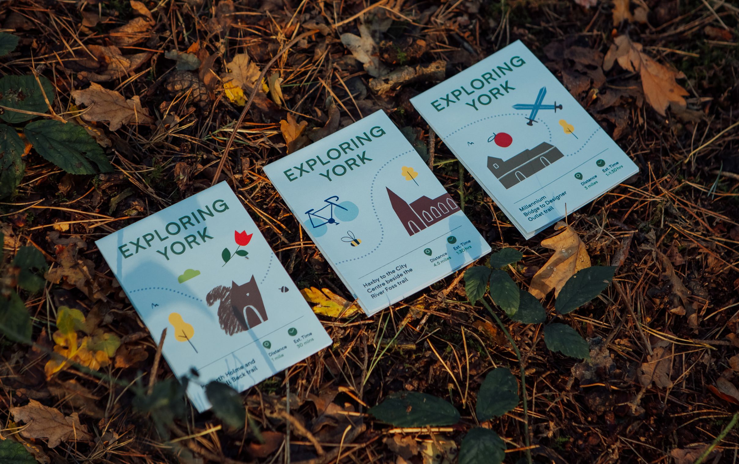
We developed a series of 10 walking maps, each covering different trails across York and the surrounding areas. Designed to suit a range of abilities, the routes vary in difficulty and distance, making them accessible to a broad audience.
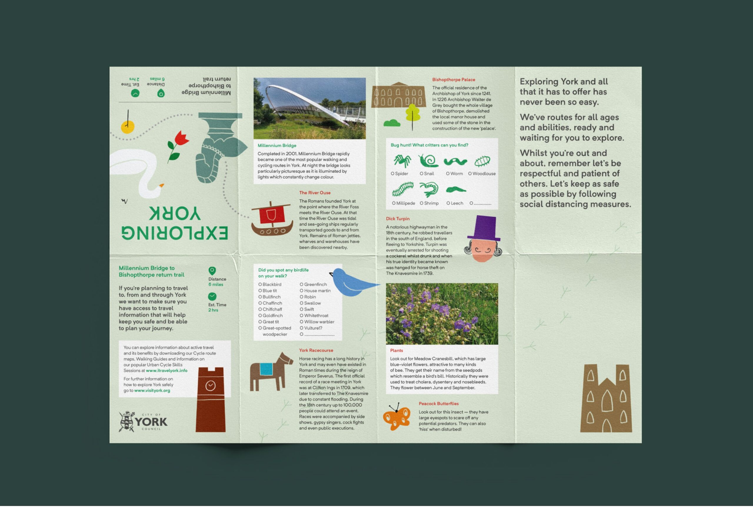
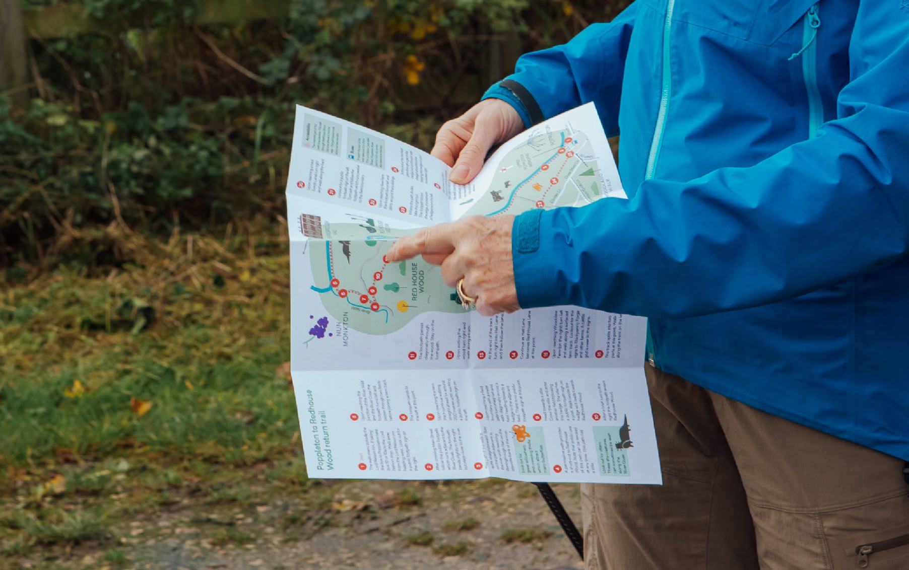
Each map goes beyond navigation, incorporating snippets of York’s rich history, interesting facts, and “weird and wonderful” local stories – adding depth and personality to every journey. Key sights are clearly highlighted, with routes plotted in a way that’s simple and easy to follow.
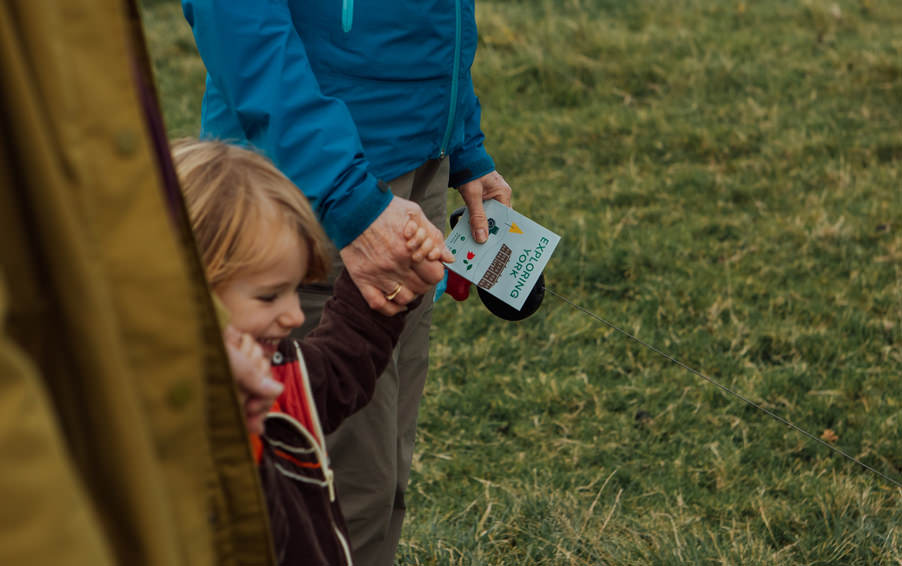
The maps were produced in both printed and digital formats, ensuring flexibility and accessibility. Pocket-friendly in design and engaging in content, they invite residents to rediscover their local area – transforming everyday walks into meaningful, story-led experiences.
The City of York Council wanted to promote and encourage the public to explore the city and surrounding areas, to get outside, exercise, and enjoy the natural beauty of the district. We created a series of x10 walking maps, covering the many different trails people can follow.
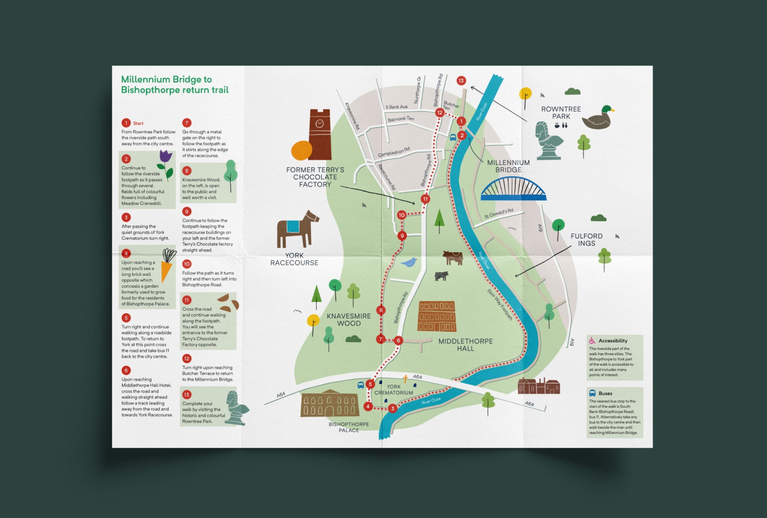
The maps vary in difficulty and distance, they feature snippets about York’s rich history, interesting facts, and things to look out for along the way. They tell weird and wonderful stories unique to York – they’re more than just walking maps.


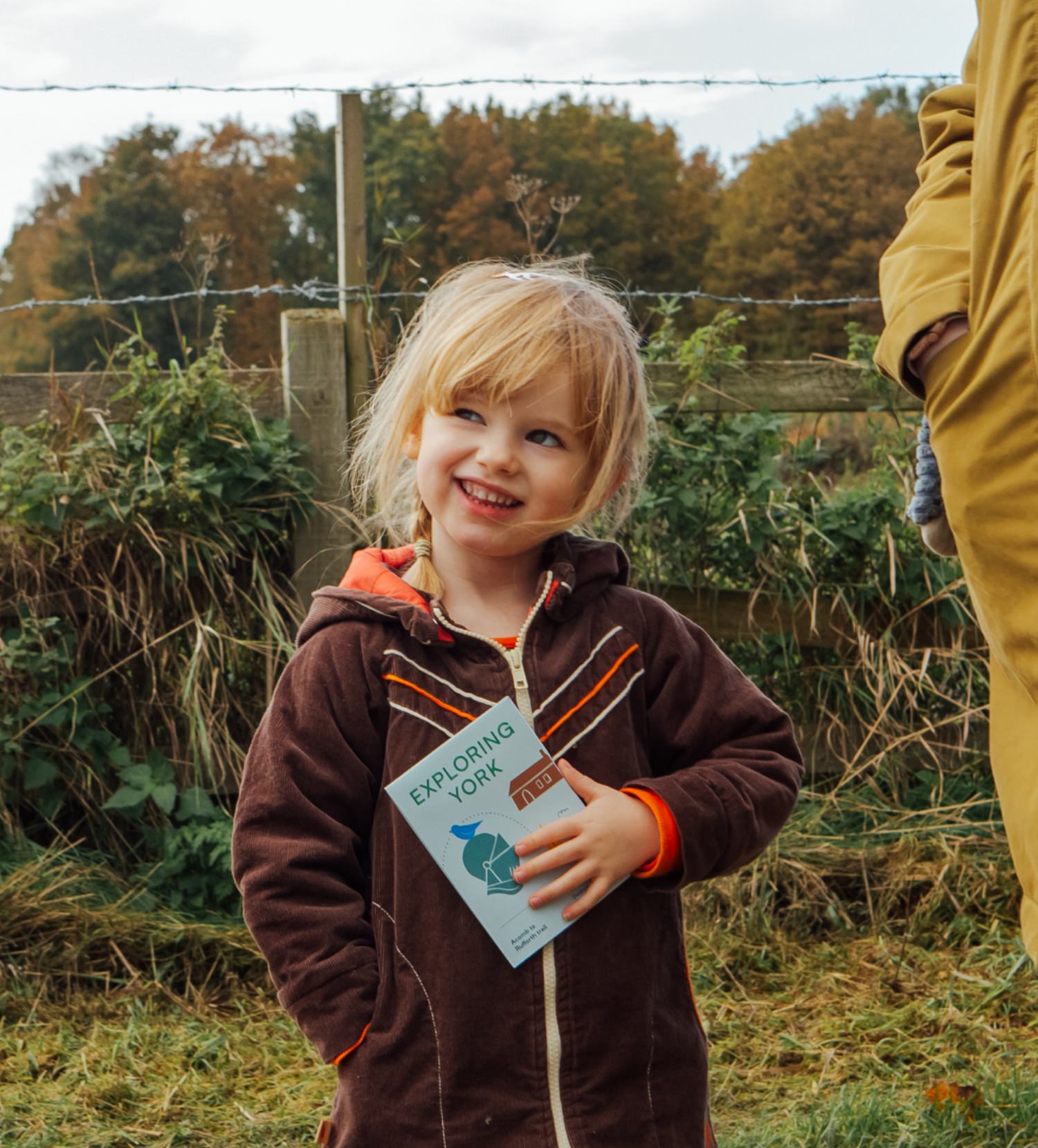
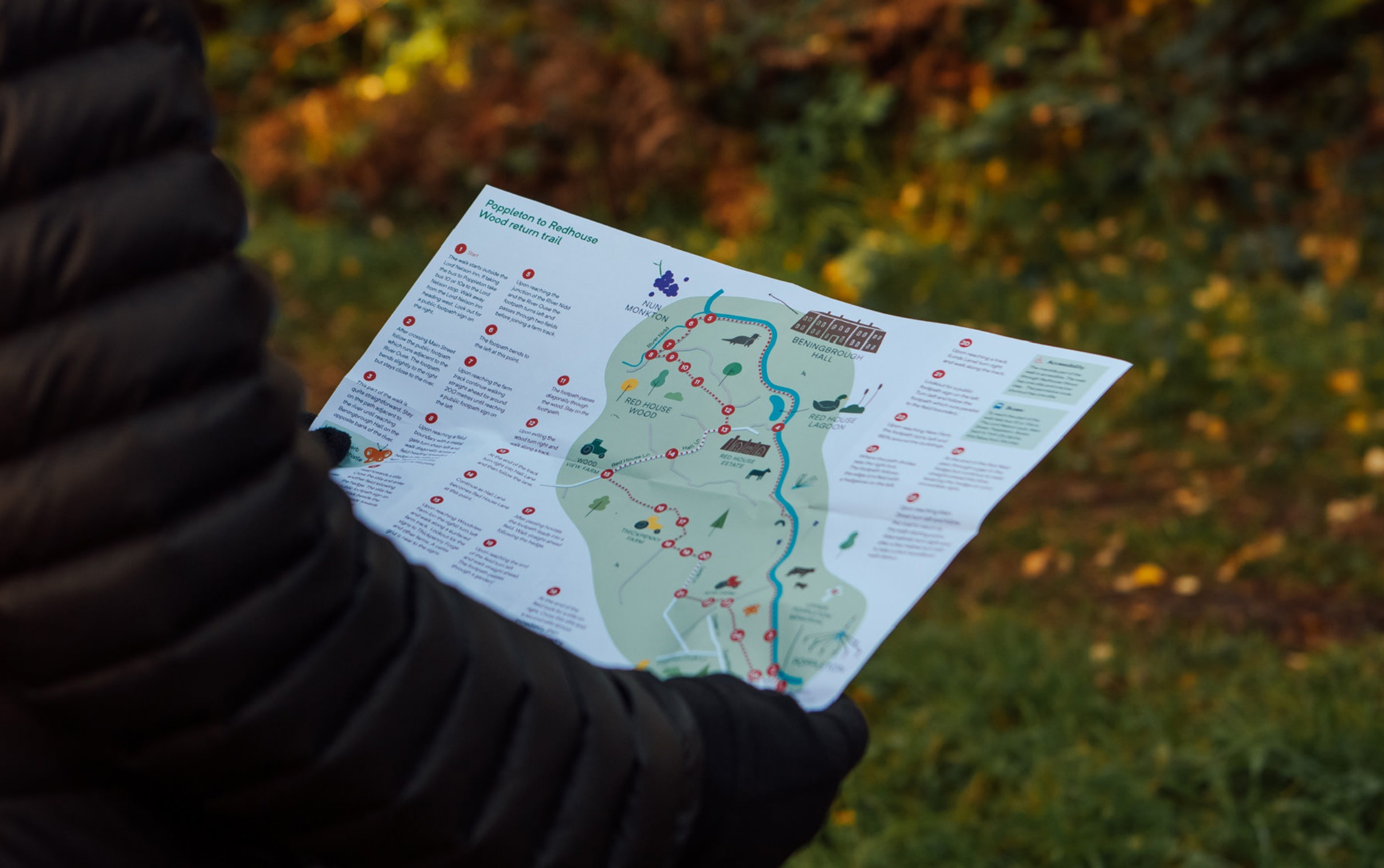
We created printed and online versions, allowing York residents to re-discover what’s on their doorstep. The maps are pocket-friendly and easy to follow, with plotted routes and key sights highlighted.